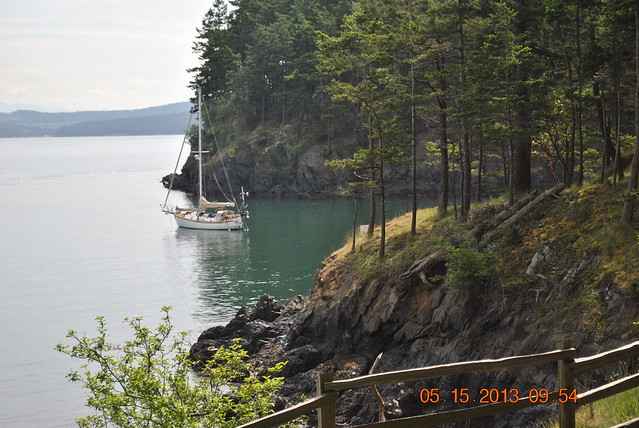
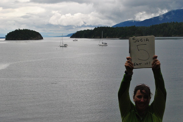
I’m gonna write this assuming anyone reading it has or will take a look at the trail of digital bread crumbs we’ve been leaving at our tracking sight. That way I don’t have to go into to great a detail on where the places I’m referring to.
I’ve put up a few post about some of the places we’ve stopped and visited so far. I think the last place I talked about was Wallace Island in the Gulf Islands and then a short update about a dive we did in Naniamo. All of that, to us seems like a very long time ago.
So, here we go.
After our tour through the Gulf Island and a couple days stop in Naniamo we had to make a move up and across the Straights of Georgia. This by the way is no small feat, especially at this time of year. The wind and waves on that particular piece of water can, does and fuggin did get nasty. The day we left Naniamo the wind had been blowing out of the south (good for us…..sorta) for a few days and on the day we left had died down a little bit. It was actually pretty good sail and we got to our destination in really good time under head sail alone. Was not the warmest or driest day on the water, but you take what you can get.
We took a short video, but as all things in these situations, pictures and videos never come close to capturing what it conditions actually are like, but here is a bit of what it was like. It was taken just as we were approaching the southern tips of Lesquiti and Texada Islands.
I was gonna upload it to youtube, but the internet connection I got right now is way to slow for that. Some other time.
Sailing between those two islands, into Bull Passage was awesome. White caps and following waves all around us. To port were high granite cliffs (I have no clue really, I’m not a fuckin geologist), and to starboard were steep sided mountains covered in trees…Pine..Cedar? Whatever, dark green. The tops of the mountains were partially covered in fog/clouds. The entrance to Bull Passage was less than a quarter mile wide, so the whole thing had an Isle of King Kong vibe to it. So god damn cool.
About ten minutes after entering the passage, the waves ceased and the winds died to almost nothing. We dropped sail and motored to our anchorage in Deep Bay on Jedidiah Island.
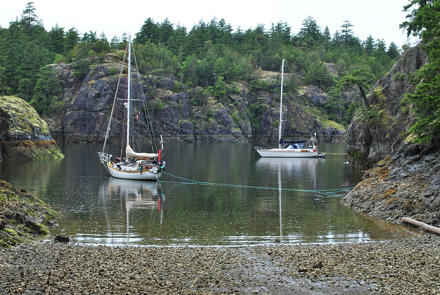
So many more pictures like this in the future.
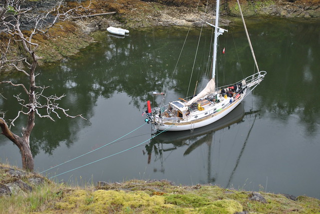
Deeper than it looks.
Hiking the island was saw flocks of wild sheep, and gathered half a backpack of Oysters for dinner later that night. Just freaking awesome….deliciously awesome. The Oysters, not the sheep.
We left there the next day, planning on going to Rebbeca Spit, but the winds built up so much and the waves were getting had gotten dangerous, so we decided to seek shelter in a harbor close by, a place called Gorge Harbor.
Now we were in the Discovery Islands and the problems of the Straights of Georgia were behind us. Now we only had to worry about the rapids that separated us from the Broughton Islands.
There are a number of ways to get from where we were, to where we wanted to be. We chose to go through what is called the “middle route”. Five sets of rapids, that if taken at the wrong times will result in very wet, shitty endings. The plan is to time it out to hit the rapids at or near slack water. Which is the small window of time where the tide switches direction and is not moving at all, or very nearly at all. So for the next four or five days we spent going over charts, tide tables, current tables, setting alarms to get up early as hell, or waiting around to hit the rapids late in the day.
Since I’m writing this, you are safe in assuming that we planned it all ok and made it through safely.
The first and easiest was Surge Narrows, and it was only the easiest because we had actually already been through going the other way on our last trip up here in 2008.
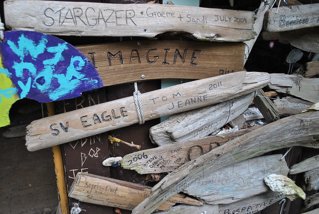
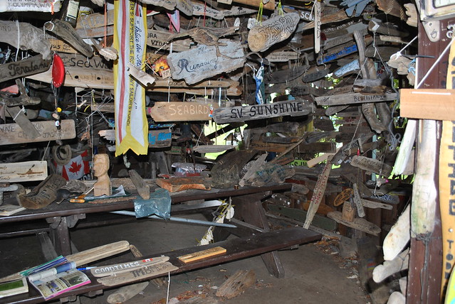
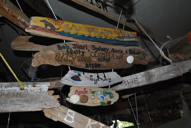
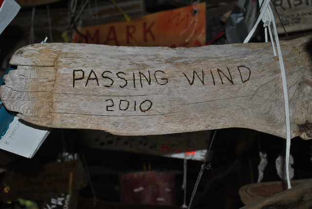
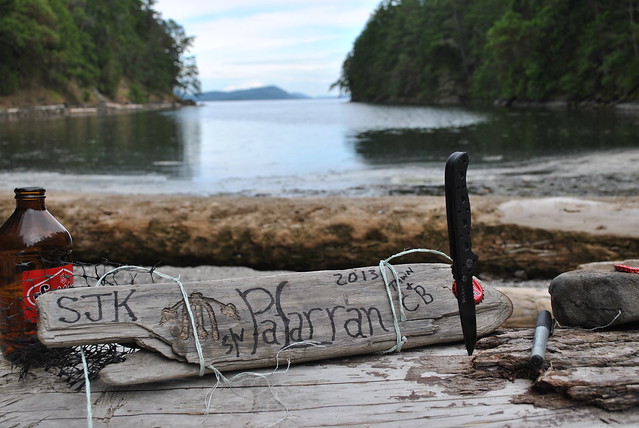
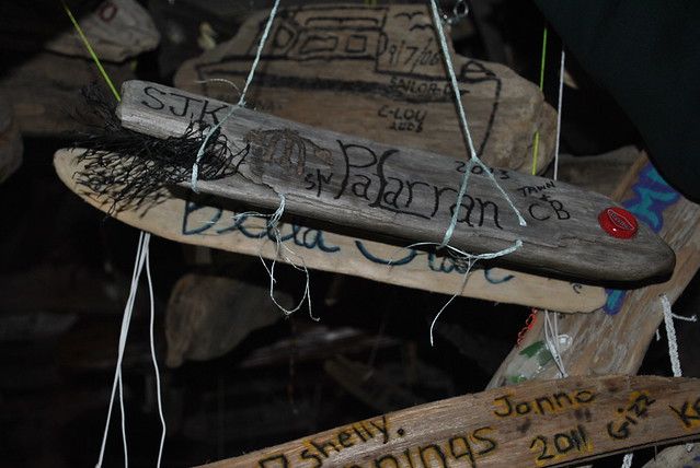
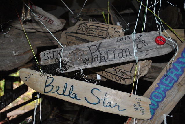
After that rapids, we stopped at a group of islands called the Octopus Islands. Had planned on staying the night there and moving on early the next day, but as I was looking at the tide tables, I realized that the next slack would be at 5pm. Which gave us 4 or 5 hours of exploring, hiking and a chance to hang another bit of decorated driftwood in yet another “crusiers cabin”. Even saw one left by friends of ours Pam & Timber.
Next rapids were called Upper and Lower rapids, and for some dumbass reason, Upper rapids were first? They are close togather and are taken one right after another. The trick here is to hit the first (Upper) a little bit early, so you have time to get through the second set (Lower) before the water starts flowing again and the rapids and whirlpools set up again. Again, your reading this, we did it. No drama to report.
After those rapids our destination was a bay called Shoal Bay. At one point on the way there we were were surrounded by a huge pod of dolphins, but in my excitement, I could not find and once found get the GoPro turned on fast enough to record them as they swam in our bow wake.
The next day we took a hike up the side of the mountain to an old abandoned gold mine. We super bummed when we got up all they way up the mountain at the entrance to the mine and realized we did not have a flash light with us. We pulled out our little camera and would snap a picture, which would give us half a second of illumination, then we’d look at the picture and walk forward 5 or 6 feet and repeat the procedure, we did this ten times or so, then started thinking…..one of these times there is gonna be a freakin bear in the picture. And neither one of us wanted to hike back down the hill with a pant load of poop in our drawers or, you know….be dead. So we backed out and found a great spot on the side of the mountain that over looked the anchorage, had a beer and took a few pictures.
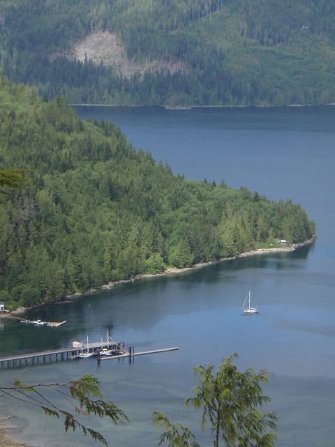
Hey! I can see my house…errr, boat from here.
The crab pots were absolutely full when we got back.
Only two sets of rapids left. Green Point rapids first. So up at the crack of dawn and hit them just right. No drama. Next up was Whirl Pool Rapids, but since it was only a few miles away we had a few hours to kill. So we found a little unnamed cove to tuck into and drop the anchor. Tawn took a nap and I rigged up the fishing pool and pulled in a HUGE Ling cod. Also, took a little time to bag another island in our quest to conquer over 100 islands this summer.
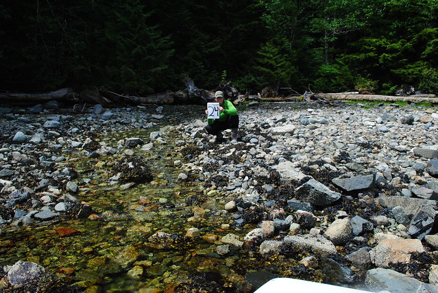
Almost a quarter of the way there.
Once past Whirl Pool rapids we turned in to Forward Bay, and found a great spot to anchor called Douglas Cove. The sun came out, so did the hammock and we cooked up half the ling cod and had some awesome fish sandwiches. After a nap or two in the hammock we went to shore an hiked across the island to the beach on the other side, did a little beach combing then headed home to brew up a batch of beer. Which we named “Bear Hole Brown Ale”, after a bear den we had to crawl past on the trail.
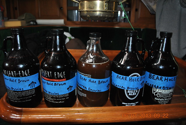
Mmmmmmm, bear…..
Hiking around up here is no joke. Luckily my buddies (Robbie, Eric and Dan) back in Seattle had a completely custom, completely bad ass axe made for me before we left.
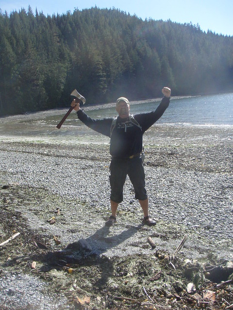
Bears….BEWARES!!!
The following day we caught up again with Kevin on Andante and had a great fire on the beach and some awesome fish, and prawn taco tuesday night BC style. We also unofficially named the point where we had the fire, Taco Point.
The next couple days found us in Lagoon cove, up Knights inlet and Glendale cove were we saw a mamma grizzly and her two cubs on shore from the dinghy. Very awesome thing to see. I’ve been around black bears before in Alaska and Colorado while hiking. I’ve never seen a grizzly before, they are freaking huge.
The anchorages, Islands, coves, inlets up here are too many to name. And I don’t know if anyone wants to read a blow by blow of each day. But I’ll figure out a way to get shit updated a little more regularly.
Right now we are anchored out in a place called Echo Bay. We have been so much eating Crab, Prawns, Clams, Oysters, Mussels, and fresh caught fish that I got a little excited to have a cheeseburger the other night. The fugiswrong wit me?
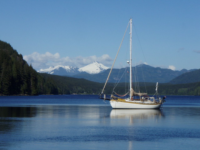
Shot of the backyard.
